Infrastructure as Intervention
Uses GIS accessibility modeling and health data analysis to reveal gaps in greenway and park access and their implications for equitable, health-supportive urban design.
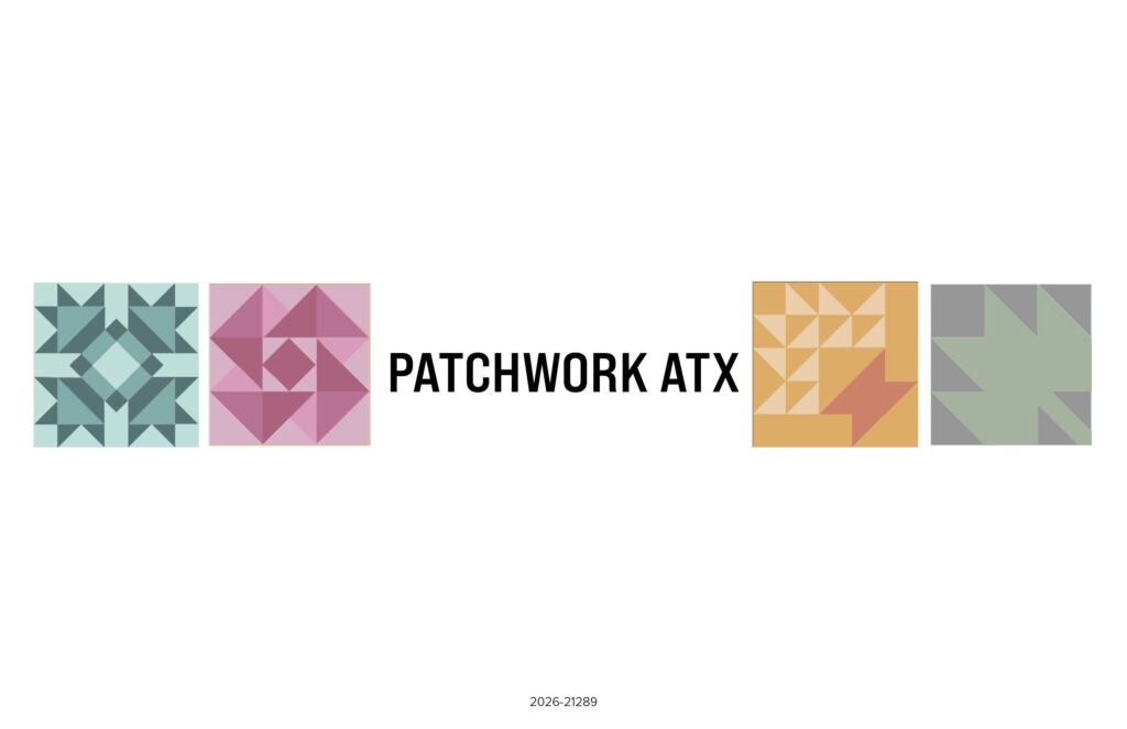
Reimagining Central Austin
A mixed-use, mixed-income neighborhood proposal created for the ULI Hines Student Competition that reimagines a car-oriented Austin site as a connected 15-minute neighborhood.
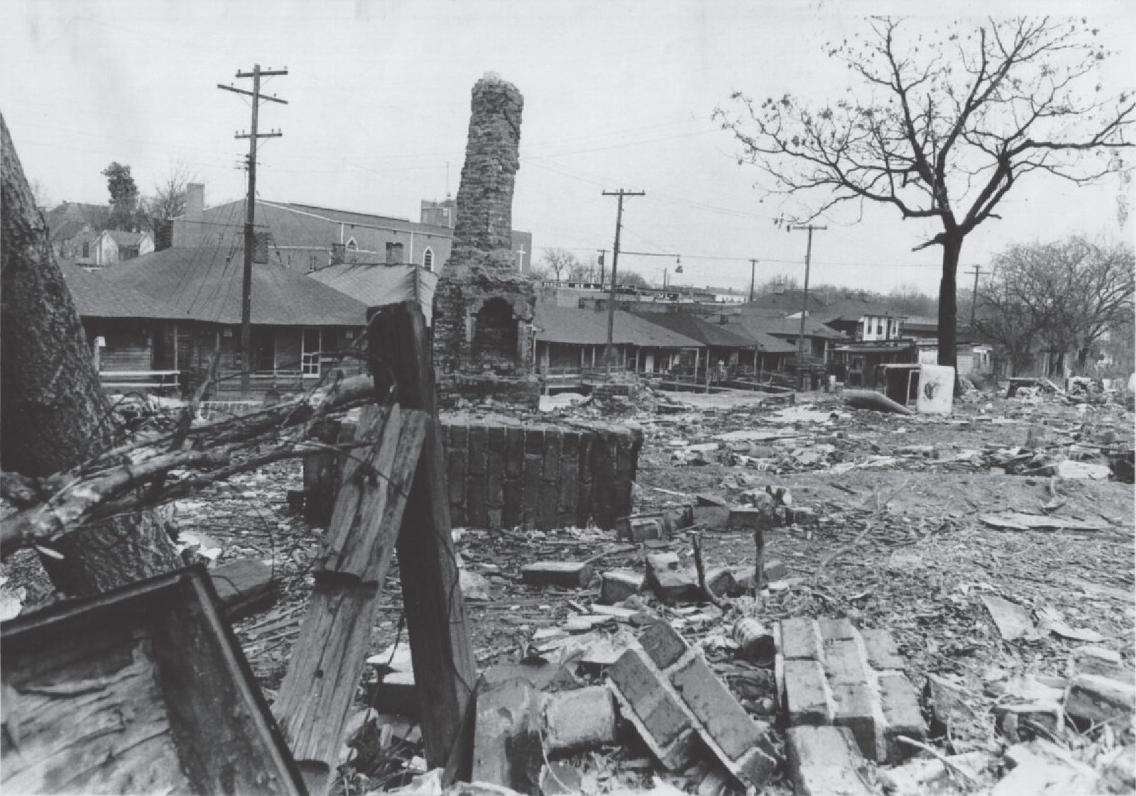
Patching a Torn Urban Fabric
Reimagining Charlotte’s historic Brooklyn neighborhood through restorative urban design—repairing fractured connectivity, reintroducing human-scaled density, and prioritizing pedestrian life.
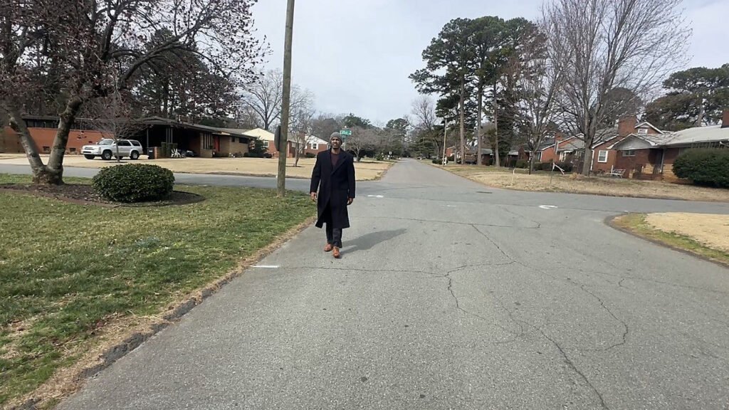
Landscape of Inaccess
examines how food access in Charlotte is shaped by transportation, race, land use, and historical development patterns. Using GIS mapping, demographic analysis, and historical research, our team identified where limited grocery access, low vehicle ownership, and racialized disinvestment overlap, then connected those findings to community-based food resilience through Deep Roots CPS Farm.